Graig Street, Pontygwaith
Introduction
The photograph on this page of Graig Street, Pontygwaith by Jaggery as part of the Geograph project.
The Geograph project started in 2005 with the aim of publishing, organising and preserving representative images for every square kilometre of Great Britain, Ireland and the Isle of Man.

There are currently over 7.5m images from over 14,400 individuals and you can help contribute to the project by visiting https://www.geograph.org.uk
Graig Street, Pontygwaith
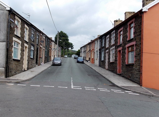
Image: © Jaggery Taken: 8 Aug 2013
Viewed across School Street from the edge of Pontygwaith Primary School. Graig Street is a 90 metre long cul-de-sac.
Images are licensed for reuse under creativecommons.org/licenses/by-sa/2.0
Image Location
Latitude
51.63882
Longitude
-3.434592