Closed Woodsgate Park
Introduction
The photograph on this page of Closed Woodsgate Park by Oast House Archive as part of the Geograph project.
The Geograph project started in 2005 with the aim of publishing, organising and preserving representative images for every square kilometre of Great Britain, Ireland and the Isle of Man.

There are currently over 7.5m images from over 14,400 individuals and you can help contribute to the project by visiting https://www.geograph.org.uk
Closed Woodsgate Park
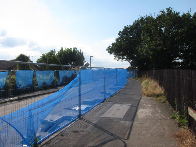
Image: © Oast House Archive Taken: 1 Aug 2013
The road is closed whilst a new bridge is constructed over the new link road.
Images are licensed for reuse under creativecommons.org/licenses/by-sa/2.0
Image Location
Latitude
50.849946
Longitude
0.470171