Path junction on Worth Way
Introduction
The photograph on this page of Path junction on Worth Way by Robin Webster as part of the Geograph project.
The Geograph project started in 2005 with the aim of publishing, organising and preserving representative images for every square kilometre of Great Britain, Ireland and the Isle of Man.

There are currently over 7.5m images from over 14,400 individuals and you can help contribute to the project by visiting https://www.geograph.org.uk
Path junction on Worth Way
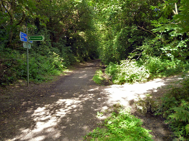
Image: © Robin Webster Taken: 9 Aug 2013
The blue signed trail from Three Bridges to East Grinstead mostly uses the old railway line, as it does here. It is part of National Cycle Route 21. Before improvements were made further on, the Worth Way turned right here.
Images are licensed for reuse under creativecommons.org/licenses/by-sa/2.0
Image Location
Latitude
51.112343
Longitude
-0.150222