Clare Baptist Church
Introduction
The photograph on this page of Clare Baptist Church by David Dixon as part of the Geograph project.
The Geograph project started in 2005 with the aim of publishing, organising and preserving representative images for every square kilometre of Great Britain, Ireland and the Isle of Man.

There are currently over 7.5m images from over 14,400 individuals and you can help contribute to the project by visiting https://www.geograph.org.uk
Clare Baptist Church
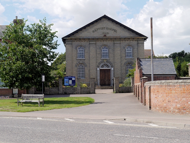
Image: © David Dixon Taken: 3 Aug 2013
The Baptist Chapel is a Grade II Listed Building (http://www.britishlistedbuildings.co.uk/en-282991-baptist-chapel-clare-suffolk British Listed Buildings). It has the date 1859 on the gable.
Images are licensed for reuse under creativecommons.org/licenses/by-sa/2.0
Image Location


Leaflet Map data © OpenStreetMap
Latitude
52.07977
Longitude
0.580279