Pebble Coombe: Road junction
Introduction
The photograph on this page of Pebble Coombe: Road junction by Dr Neil Clifton as part of the Geograph project.
The Geograph project started in 2005 with the aim of publishing, organising and preserving representative images for every square kilometre of Great Britain, Ireland and the Isle of Man.

There are currently over 7.5m images from over 14,400 individuals and you can help contribute to the project by visiting https://www.geograph.org.uk
Pebble Coombe: Road junction
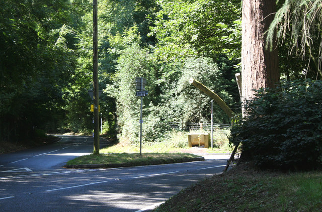
Image: © Dr Neil Clifton Taken: 9 Aug 2013
Straight on is the road to Box Hill: to the right the B2033 to Headley Common, and, eventually, Leatherhead.
Images are licensed for reuse under creativecommons.org/licenses/by-sa/2.0
Image Location
Latitude
51.262863
Longitude
-0.266306