Bemrose Terrace
Introduction
The photograph on this page of Bemrose Terrace by Andrew Hill as part of the Geograph project.
The Geograph project started in 2005 with the aim of publishing, organising and preserving representative images for every square kilometre of Great Britain, Ireland and the Isle of Man.

There are currently over 7.5m images from over 14,400 individuals and you can help contribute to the project by visiting https://www.geograph.org.uk
Bemrose Terrace
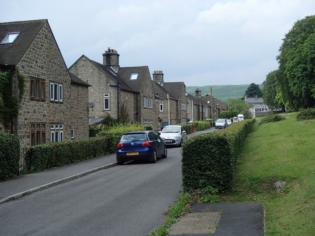
Image: © Andrew Hill Taken: 8 Aug 2013
The top of three rows of houses running parallel to the A6013 near Bamford.
Images are licensed for reuse under creativecommons.org/licenses/by-sa/2.0
Image Location
Latitude
53.360776
Longitude
-1.698991