Brede High Woods Information Sign
Introduction
The photograph on this page of Brede High Woods Information Sign by David Anstiss as part of the Geograph project.
The Geograph project started in 2005 with the aim of publishing, organising and preserving representative images for every square kilometre of Great Britain, Ireland and the Isle of Man.

There are currently over 7.5m images from over 14,400 individuals and you can help contribute to the project by visiting https://www.geograph.org.uk
Brede High Woods Information Sign
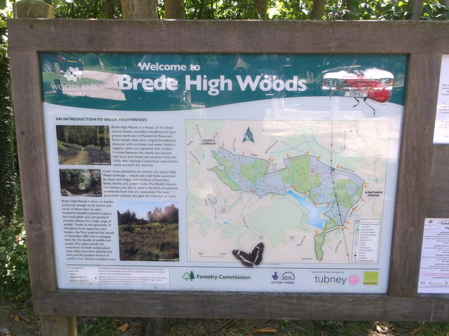
Image: © David Anstiss Taken: 3 Aug 2013
Beside the woodland carpark on the B2089 (between Cripp's Corner and Goatherd Green).
Images are licensed for reuse under creativecommons.org/licenses/by-sa/2.0
Image Location
Latitude
50.9566
Longitude
0.56682