Former Pans Mission Hall, Machrihanish
Introduction
The photograph on this page of Former Pans Mission Hall, Machrihanish by Leslie Barrie as part of the Geograph project.
The Geograph project started in 2005 with the aim of publishing, organising and preserving representative images for every square kilometre of Great Britain, Ireland and the Isle of Man.

There are currently over 7.5m images from over 14,400 individuals and you can help contribute to the project by visiting https://www.geograph.org.uk
Former Pans Mission Hall, Machrihanish
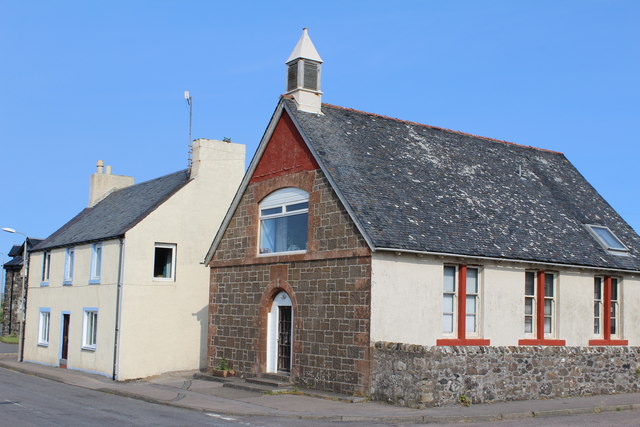
Image: © Leslie Barrie Taken: 13 Jul 2013
Bears the date-stone 1889. Now converted for residential use.
Images are licensed for reuse under creativecommons.org/licenses/by-sa/2.0
Image Location
Latitude
55.423095
Longitude
-5.73451