The Busway - Route A
Introduction
The photograph on this page of The Busway - Route A by Fernweh as part of the Geograph project.
The Geograph project started in 2005 with the aim of publishing, organising and preserving representative images for every square kilometre of Great Britain, Ireland and the Isle of Man.

There are currently over 7.5m images from over 14,400 individuals and you can help contribute to the project by visiting https://www.geograph.org.uk
The Busway - Route A
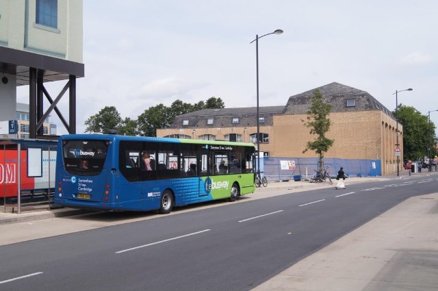
Image: © Fernweh Taken: 7 Aug 2013
Buses which continue towards Trumpington Park & Ride can only be single deckers due to the height of the former railway bridges.
Images are licensed for reuse under creativecommons.org/licenses/by-sa/2.0
Image Location
Latitude
52.193681
Longitude
0.136341