Swallowed by the pavement
Introduction
The photograph on this page of Swallowed by the pavement by Neil Owen as part of the Geograph project.
The Geograph project started in 2005 with the aim of publishing, organising and preserving representative images for every square kilometre of Great Britain, Ireland and the Isle of Man.

There are currently over 7.5m images from over 14,400 individuals and you can help contribute to the project by visiting https://www.geograph.org.uk
Swallowed by the pavement
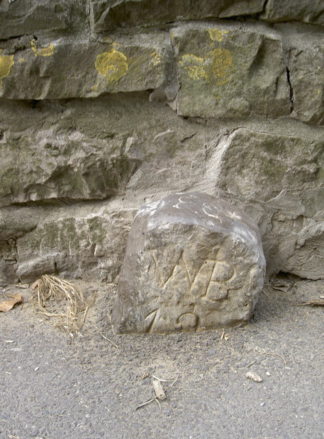
Image: © Neil Owen Taken: 8 Aug 2013
Not swallowed by the water - which would have more than likely happened over the years gone by. A boundary (?) stone on the Great Rhyne Image], a partner to another: Image
Images are licensed for reuse under creativecommons.org/licenses/by-sa/2.0
Image Location
Latitude
51.32146
Longitude
-2.984669