Uphill Great Rhyne
Introduction
The photograph on this page of Uphill Great Rhyne by Neil Owen as part of the Geograph project.
The Geograph project started in 2005 with the aim of publishing, organising and preserving representative images for every square kilometre of Great Britain, Ireland and the Isle of Man.

There are currently over 7.5m images from over 14,400 individuals and you can help contribute to the project by visiting https://www.geograph.org.uk
Uphill Great Rhyne
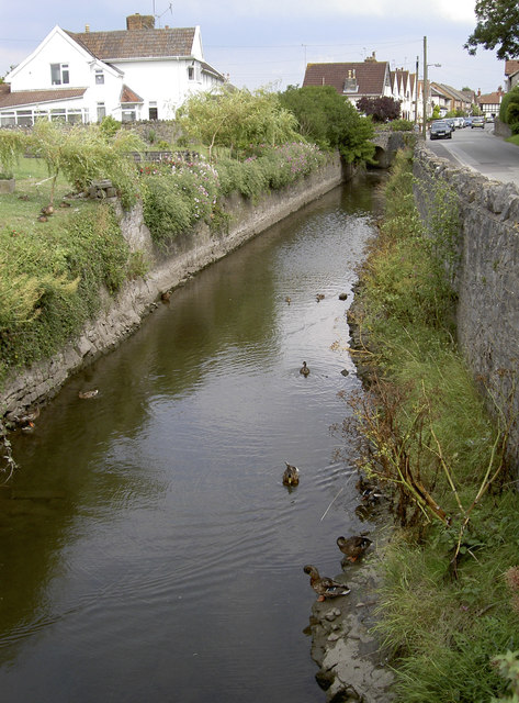
Image: © Neil Owen Taken: 8 Aug 2013
Just before it goes under the bridge and into the sluice gate - Image Also see Image] for some ducks that live on the water, or above it.
Images are licensed for reuse under creativecommons.org/licenses/by-sa/2.0
Image Location
Latitude
51.321548
Longitude
-2.984814