Balcombe Road, B2036
Introduction
The photograph on this page of Balcombe Road, B2036 by Robin Webster as part of the Geograph project.
The Geograph project started in 2005 with the aim of publishing, organising and preserving representative images for every square kilometre of Great Britain, Ireland and the Isle of Man.

There are currently over 7.5m images from over 14,400 individuals and you can help contribute to the project by visiting https://www.geograph.org.uk
Balcombe Road, B2036
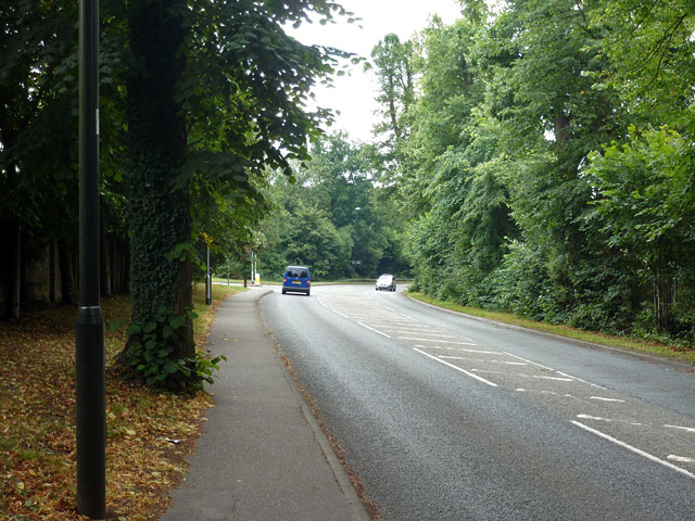
Image: © Robin Webster Taken: 8 Aug 2013
The road bends away from the original route at the junction ahead. This alignment was built in the early 19th century to avoid the short but steep Street Hill on the old route.
Images are licensed for reuse under creativecommons.org/licenses/by-sa/2.0
Image Location
Latitude
51.109473
Longitude
-0.145051