Hammersmith: Beadon Road and Underground station
Introduction
The photograph on this page of Hammersmith: Beadon Road and Underground station by Christopher Hilton as part of the Geograph project.
The Geograph project started in 2005 with the aim of publishing, organising and preserving representative images for every square kilometre of Great Britain, Ireland and the Isle of Man.

There are currently over 7.5m images from over 14,400 individuals and you can help contribute to the project by visiting https://www.geograph.org.uk
Hammersmith: Beadon Road and Underground station
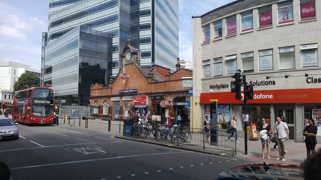
Image: © Christopher Hilton Taken: 8 Aug 2013
The station is the one serving the Circle and Hammersmith & City Lines (formerly the Metropolitan Railway).
Images are licensed for reuse under creativecommons.org/licenses/by-sa/2.0
Image Location
Latitude
51.493446
Longitude
-0.22516