Footpath from Balcombe Road to Church Lane
Introduction
The photograph on this page of Footpath from Balcombe Road to Church Lane by Robin Webster as part of the Geograph project.
The Geograph project started in 2005 with the aim of publishing, organising and preserving representative images for every square kilometre of Great Britain, Ireland and the Isle of Man.

There are currently over 7.5m images from over 14,400 individuals and you can help contribute to the project by visiting https://www.geograph.org.uk
Footpath from Balcombe Road to Church Lane
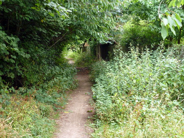
Image: © Robin Webster Taken: 8 Aug 2013
Here the narrow alley widens out into a former vehicle access lane, but redevelopment to either side had made this redundant and it is now blocked with bollards.
Images are licensed for reuse under creativecommons.org/licenses/by-sa/2.0
Image Location
Latitude
51.111277
Longitude
-0.145407