Bakestone Moor and the Royal Oak
Introduction
The photograph on this page of Bakestone Moor and the Royal Oak by Richard Law as part of the Geograph project.
The Geograph project started in 2005 with the aim of publishing, organising and preserving representative images for every square kilometre of Great Britain, Ireland and the Isle of Man.

There are currently over 7.5m images from over 14,400 individuals and you can help contribute to the project by visiting https://www.geograph.org.uk
Bakestone Moor and the Royal Oak
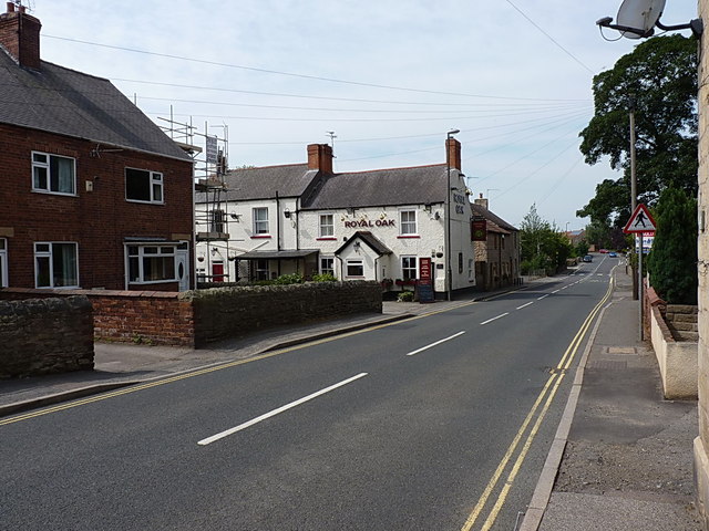
Image: © Richard Law Taken: 8 Aug 2013
A view along the intriguingly-named Bakestone Moor; the road leads out towards the A616 just north of Creswell.
Images are licensed for reuse under creativecommons.org/licenses/by-sa/2.0
Image Location
Latitude
53.280731
Longitude
-1.214966