Joining the proposed line of the M69
Introduction
The photograph on this page of Joining the proposed line of the M69 by Peter Whatley as part of the Geograph project.
The Geograph project started in 2005 with the aim of publishing, organising and preserving representative images for every square kilometre of Great Britain, Ireland and the Isle of Man.

There are currently over 7.5m images from over 14,400 individuals and you can help contribute to the project by visiting https://www.geograph.org.uk
Joining the proposed line of the M69
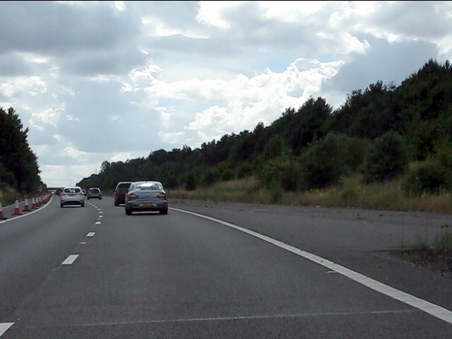
Image: © Peter Whatley Taken: 28 Jul 2013
The original design specification for the M69 envisaged the motorway crossing the M1 to end at the A563 Leicester Ring Road. Local opposition prevented this, leading to the widely spaced carriageways at the eastern end of the M69 and three rather chaotic junctions between M69, M1, A5460 and A563.
Images are licensed for reuse under creativecommons.org/licenses/by-sa/2.0
Image Location


Leaflet Map data © OpenStreetMap
Latitude
52.597779
Longitude
-1.211872