Campbell Road, Maidenbower, Crawley
Introduction
The photograph on this page of Campbell Road, Maidenbower, Crawley by Robin Webster as part of the Geograph project.
The Geograph project started in 2005 with the aim of publishing, organising and preserving representative images for every square kilometre of Great Britain, Ireland and the Isle of Man.

There are currently over 7.5m images from over 14,400 individuals and you can help contribute to the project by visiting https://www.geograph.org.uk
Campbell Road, Maidenbower, Crawley
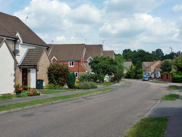
Image: © Robin Webster Taken: 8 Aug 2013
One of the roads in the labyrinthine street layout of Maidenbower, favoured for new developments these days for several reasons, but hard to navigate for the stranger.
Images are licensed for reuse under creativecommons.org/licenses/by-sa/2.0
Image Location
Latitude
51.109541
Longitude
-0.155048