Bedale Signal Box
Introduction
The photograph on this page of Bedale Signal Box by michael ely as part of the Geograph project.
The Geograph project started in 2005 with the aim of publishing, organising and preserving representative images for every square kilometre of Great Britain, Ireland and the Isle of Man.

There are currently over 7.5m images from over 14,400 individuals and you can help contribute to the project by visiting https://www.geograph.org.uk
Bedale Signal Box
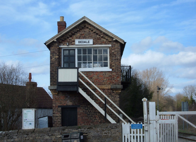
Image: © michael ely Taken: 8 Mar 2007
Situated by the level crossing on the Wensleydale Railway. This is a 17-mile single track length between Leeming Bar and Redmire, near Castle Bolton, at the edge of the National Park.
Images are licensed for reuse under creativecommons.org/licenses/by-sa/2.0
Image Location


Leaflet Map data © OpenStreetMap
Latitude
54.289629
Longitude
-1.589799