Paddock: Upper Woolhampton
Introduction
The photograph on this page of Paddock: Upper Woolhampton by Pam Brophy as part of the Geograph project.
The Geograph project started in 2005 with the aim of publishing, organising and preserving representative images for every square kilometre of Great Britain, Ireland and the Isle of Man.

There are currently over 7.5m images from over 14,400 individuals and you can help contribute to the project by visiting https://www.geograph.org.uk
Paddock: Upper Woolhampton
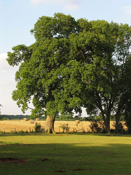
Image: © Pam Brophy Taken: 9 Aug 2005
This paddock featuring this beautiful oak tree, is in the north western section of the square, on the north side of the road where it takes a sharp turn south east. The view looks more or less north east.
Images are licensed for reuse under creativecommons.org/licenses/by-sa/2.0
Image Location


Leaflet Map data © OpenStreetMap
Latitude
51.412613
Longitude
-1.174609