The King's School, Worcester
Introduction
The photograph on this page of The King's School, Worcester by Philip Halling as part of the Geograph project.
The Geograph project started in 2005 with the aim of publishing, organising and preserving representative images for every square kilometre of Great Britain, Ireland and the Isle of Man.

There are currently over 7.5m images from over 14,400 individuals and you can help contribute to the project by visiting https://www.geograph.org.uk
The King's School, Worcester
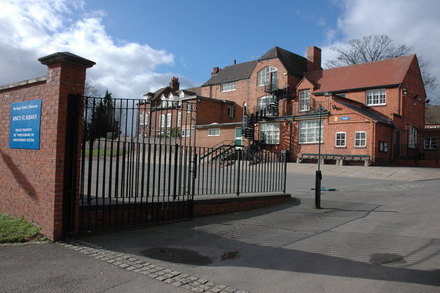
Image: © Philip Halling Taken: 1 Mar 2007
The King's School, Worcester, is situated to the south of the cathedral and occupies several buildings, this is the St Albans building.
Images are licensed for reuse under creativecommons.org/licenses/by-sa/2.0
Image Location


Leaflet Map data © OpenStreetMap
Latitude
52.186018
Longitude
-2.221551