
Former Town Hall, Donaghadee (2013-2)
Introduction
The photograph on this page of Former Town Hall, Donaghadee (2013-2) by Albert Bridge as part of the Geograph project.
The Geograph project started in 2005 with the aim of publishing, organising and preserving representative images for every square kilometre of Great Britain, Ireland and the Isle of Man.

There are currently over 7.5m images from over 14,400 individuals and you can help contribute to the project by visiting https://www.geograph.org.uk
Former Town Hall, Donaghadee (2013-2)
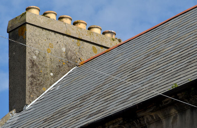
Image: © Albert Bridge Taken: 7 Aug 2013
See Image Six surviving pots at the north western end of the building. There is a similar chimney at the other end but now without the pots. Assuming that the two were identical, the former town hall was heated by twelve coal fires which must have needed quite a bit of effort in the winter months.
Images are licensed for reuse under creativecommons.org/licenses/by-sa/2.0
Image Location

Latitude
54.641888
Longitude
-5.536629