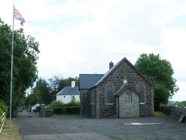
What is it?
Introduction
The photograph on this page of What is it? by Robert Ashby as part of the Geograph project.
The Geograph project started in 2005 with the aim of publishing, organising and preserving representative images for every square kilometre of Great Britain, Ireland and the Isle of Man.
There are currently over 7.5m images from over 14,400 individuals and you can help contribute to the project by visiting https://www.geograph.org.uk

Image: © Robert Ashby Taken: 7 Aug 2013
It looks like a small church, the Union Flag suggests possibly an Orange Hall and my O.S. map has "Foundry" printed beside it but the stone tablet on the wall above the door is too weathered to be decipherable. It stands at the closed-off north-west end of the Shankbridge Road overlooking the A26.

