High Street, Scapegoat Hill
Introduction
The photograph on this page of High Street, Scapegoat Hill by Anthony Roy as part of the Geograph project.
The Geograph project started in 2005 with the aim of publishing, organising and preserving representative images for every square kilometre of Great Britain, Ireland and the Isle of Man.

There are currently over 7.5m images from over 14,400 individuals and you can help contribute to the project by visiting https://www.geograph.org.uk
High Street, Scapegoat Hill
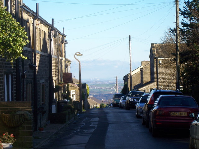
Image: © Anthony Roy Taken: 25 Nov 2006
High Street really earns its name on Scapegoat Hill, running at about 315m above sea level. To the left of the picture are old Weavers cottages. In the centre of the picture in the distance, you can make out the Ferrybridge power station 26 miles away (Image).
Images are licensed for reuse under creativecommons.org/licenses/by-sa/2.0
Image Location
Latitude
53.644038
Longitude
-1.868362