"Sandy Lane" Track
Introduction
The photograph on this page of "Sandy Lane" Track by Pam Brophy as part of the Geograph project.
The Geograph project started in 2005 with the aim of publishing, organising and preserving representative images for every square kilometre of Great Britain, Ireland and the Isle of Man.

There are currently over 7.5m images from over 14,400 individuals and you can help contribute to the project by visiting https://www.geograph.org.uk
"Sandy Lane" Track
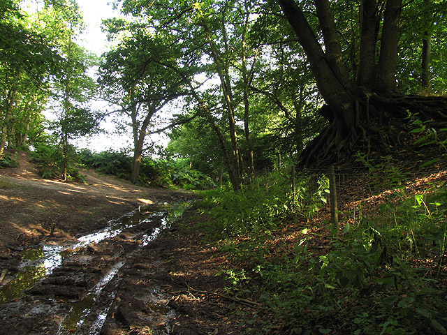
Image: © Pam Brophy Taken: 9 Aug 2005
This section of the track (byway) is south of Oarebrough Hill. The picture is taken looking south east along the track towards Bradley Courst Cottages where the track becomes Old Street.
Images are licensed for reuse under creativecommons.org/licenses/by-sa/2.0
Image Location


Leaflet Map data © OpenStreetMap
Latitude
51.467312
Longitude
-1.288792