Westfield Way
Introduction
The photograph on this page of Westfield Way by Pauline E as part of the Geograph project.
The Geograph project started in 2005 with the aim of publishing, organising and preserving representative images for every square kilometre of Great Britain, Ireland and the Isle of Man.

There are currently over 7.5m images from over 14,400 individuals and you can help contribute to the project by visiting https://www.geograph.org.uk
Westfield Way
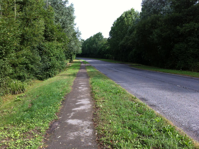
Image: © Pauline E Taken: 1 Aug 2013
Takes traffic from the industrial estate to Scarborough Road and the A64 - now accessible following the construction of a new junction at Brambling Fields.
Images are licensed for reuse under creativecommons.org/licenses/by-sa/2.0
Image Location
Latitude
54.137299
Longitude
-0.771662