The Chapel House
Introduction
The photograph on this page of The Chapel House by Gordon Griffiths as part of the Geograph project.
The Geograph project started in 2005 with the aim of publishing, organising and preserving representative images for every square kilometre of Great Britain, Ireland and the Isle of Man.

There are currently over 7.5m images from over 14,400 individuals and you can help contribute to the project by visiting https://www.geograph.org.uk
The Chapel House
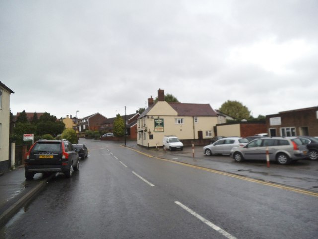
Image: © Gordon Griffiths Taken: 4 Aug 2013
The view in Ruiton Street Lower Gornal of the Holden's Pub. The Pub was the former Miners Arms.
Images are licensed for reuse under creativecommons.org/licenses/by-sa/2.0
Image Location


Leaflet Map data © OpenStreetMap
Latitude
52.521944
Longitude
-2.123167