Brewery Lane, West Scholes
Introduction
The photograph on this page of Brewery Lane, West Scholes by Paul Glazzard as part of the Geograph project.
The Geograph project started in 2005 with the aim of publishing, organising and preserving representative images for every square kilometre of Great Britain, Ireland and the Isle of Man.

There are currently over 7.5m images from over 14,400 individuals and you can help contribute to the project by visiting https://www.geograph.org.uk
Brewery Lane, West Scholes
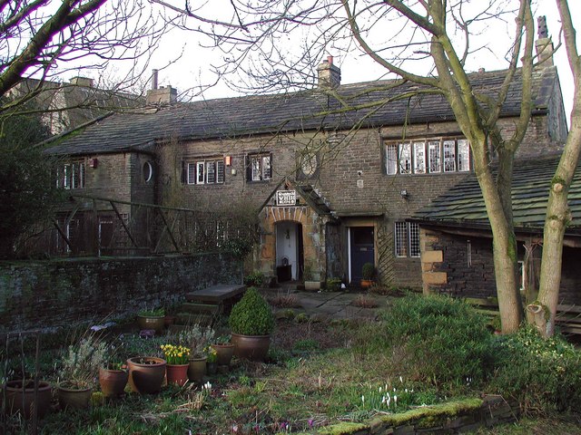
Image: © Paul Glazzard Taken: 6 Mar 2007
Cottages by the mill on Brewery Lane in the village of West Scholes, north of Queensbury. The plaque above the door in the centre reads "VHIH 1694".
Images are licensed for reuse under creativecommons.org/licenses/by-sa/2.0
Image Location
Latitude
53.779378
Longitude
-1.85064