Edge End Moor
Introduction
The photograph on this page of Edge End Moor by Rude Health as part of the Geograph project.
The Geograph project started in 2005 with the aim of publishing, organising and preserving representative images for every square kilometre of Great Britain, Ireland and the Isle of Man.

There are currently over 7.5m images from over 14,400 individuals and you can help contribute to the project by visiting https://www.geograph.org.uk
Edge End Moor
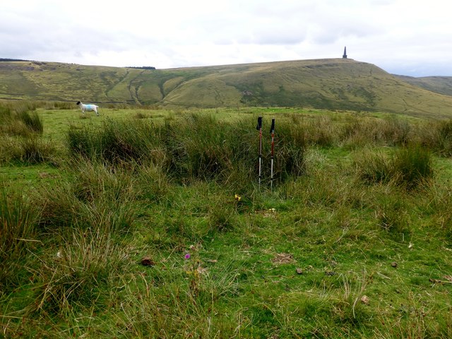
Image: © Rude Health Taken: 6 Aug 2013
Parked near SD 96472 24393 then took bridleway NNE towards Edge End Moor, Lower Rough Head Farm, Stoodley Pike and finally on to Blake Moor to bag the trig point which is surrounded by reservoirs and catchment drain that can be tricky to cross. Name: Edge End Moor Hill number: 108676 Height: 320m / 1050ft Area: 36: Lancashire, Cheshire & the Southern Pennines Class: 3 Grid ref: SD975253 (est) Drop: 33m Col: 287m
Images are licensed for reuse under creativecommons.org/licenses/by-sa/2.0
Image Location
Latitude
53.724637
Longitude
-2.038609