Cedar of Lebanon at Kiddington
Introduction
The photograph on this page of Cedar of Lebanon at Kiddington by Martin Loader as part of the Geograph project.
The Geograph project started in 2005 with the aim of publishing, organising and preserving representative images for every square kilometre of Great Britain, Ireland and the Isle of Man.

There are currently over 7.5m images from over 14,400 individuals and you can help contribute to the project by visiting https://www.geograph.org.uk
Cedar of Lebanon at Kiddington
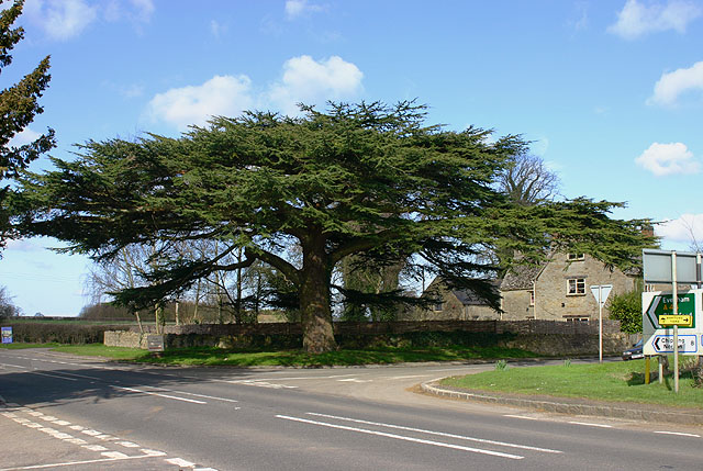
Image: © Martin Loader Taken: 8 Mar 2007
A fimilar landmark to drivers on the A44 between Oxford and Chipping Norton, the Cedar of Lebanon tree at Kiddington.
Images are licensed for reuse under creativecommons.org/licenses/by-sa/2.0
Image Location


Leaflet Map data © OpenStreetMap
Latitude
51.896041
Longitude
-1.406445