Pub and a former chapel viewed from Hillside Terrace, Wattstown
Introduction
The photograph on this page of Pub and a former chapel viewed from Hillside Terrace, Wattstown by Jaggery as part of the Geograph project.
The Geograph project started in 2005 with the aim of publishing, organising and preserving representative images for every square kilometre of Great Britain, Ireland and the Isle of Man.

There are currently over 7.5m images from over 14,400 individuals and you can help contribute to the project by visiting https://www.geograph.org.uk
Pub and a former chapel viewed from Hillside Terrace, Wattstown
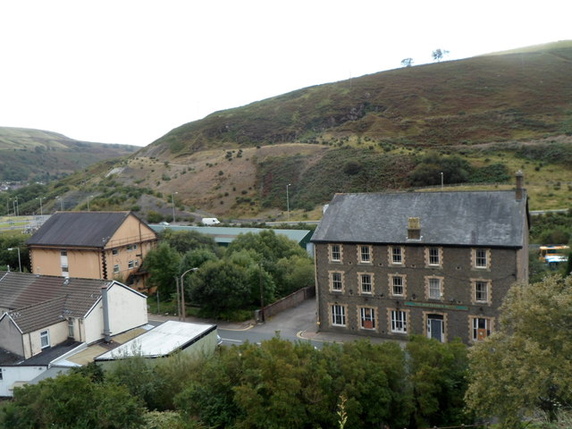
Image: © Jaggery Taken: 19 Sep 2012
The large building on the right is The Wattstown Hotel. http://www.geograph.org.uk/photo/3586509 The pinkish building on the left is the former Calfaria Welsh Baptist Chapel, http://www.geograph.org.uk/photo/3586500 now converted to residential use.
Images are licensed for reuse under creativecommons.org/licenses/by-sa/2.0
Image Location
Latitude
51.634064
Longitude
-3.418981