Ochil View
Introduction
The photograph on this page of Ochil View by Ross Watson as part of the Geograph project.
The Geograph project started in 2005 with the aim of publishing, organising and preserving representative images for every square kilometre of Great Britain, Ireland and the Isle of Man.

There are currently over 7.5m images from over 14,400 individuals and you can help contribute to the project by visiting https://www.geograph.org.uk
Ochil View
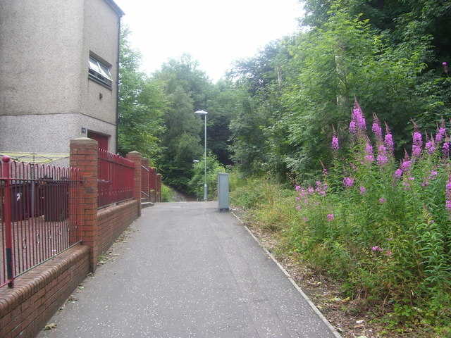
Image: © Ross Watson Taken: 5 Aug 2013
Pathway by-passing flat accommodation, leading to underpass.
Images are licensed for reuse under creativecommons.org/licenses/by-sa/2.0
Image Location
Latitude
55.958818
Longitude
-3.958604