Across Fingringhoe Ranges
Introduction
The photograph on this page of Across Fingringhoe Ranges by Glyn Baker as part of the Geograph project.
The Geograph project started in 2005 with the aim of publishing, organising and preserving representative images for every square kilometre of Great Britain, Ireland and the Isle of Man.

There are currently over 7.5m images from over 14,400 individuals and you can help contribute to the project by visiting https://www.geograph.org.uk
Across Fingringhoe Ranges
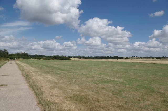
Image: © Glyn Baker Taken: 4 Aug 2013
The Military Training Ground and Danger Area stretch almost as far as the eye can see!
Images are licensed for reuse under creativecommons.org/licenses/by-sa/2.0
Image Location
Latitude
51.827391
Longitude
0.938117