NE side of a footbridge over the A4233, Ynyshir
Introduction
The photograph on this page of NE side of a footbridge over the A4233, Ynyshir by Jaggery as part of the Geograph project.
The Geograph project started in 2005 with the aim of publishing, organising and preserving representative images for every square kilometre of Great Britain, Ireland and the Isle of Man.

There are currently over 7.5m images from over 14,400 individuals and you can help contribute to the project by visiting https://www.geograph.org.uk
NE side of a footbridge over the A4233, Ynyshir
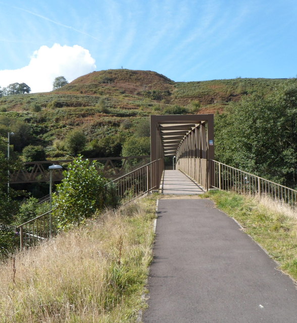
Image: © Jaggery Taken: 19 Sep 2012
Viewed from the Rhondda Fach Trail looking across the A4233 towards Ynyshir Road. Built in 2005, the A4233 is the Porth and Lower Rhondda Fach Relief Road (Porth Bypass), which follows the route of a dismantled railway line.
Images are licensed for reuse under creativecommons.org/licenses/by-sa/2.0
Image Location
Latitude
51.631969
Longitude
-3.413714