The slopes of Irton Fell
Introduction
The photograph on this page of The slopes of Irton Fell by David Purchase as part of the Geograph project.
The Geograph project started in 2005 with the aim of publishing, organising and preserving representative images for every square kilometre of Great Britain, Ireland and the Isle of Man.

There are currently over 7.5m images from over 14,400 individuals and you can help contribute to the project by visiting https://www.geograph.org.uk
The slopes of Irton Fell
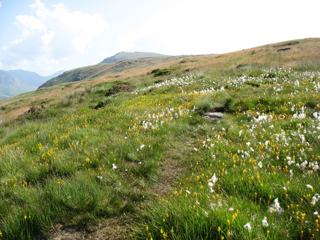
Image: © David Purchase Taken: 19 Jul 2013
A colourful display at an altitude of almost 250m. In the distance is Whin Rigg.
Images are licensed for reuse under creativecommons.org/licenses/by-sa/2.0
Image Location
Latitude
54.40701
Longitude
-3.339236