Vacant development site, Lisburn (2013-1)
Introduction
The photograph on this page of Vacant development site, Lisburn (2013-1) by Albert Bridge as part of the Geograph project.
The Geograph project started in 2005 with the aim of publishing, organising and preserving representative images for every square kilometre of Great Britain, Ireland and the Isle of Man.

There are currently over 7.5m images from over 14,400 individuals and you can help contribute to the project by visiting https://www.geograph.org.uk
Vacant development site, Lisburn (2013-1)
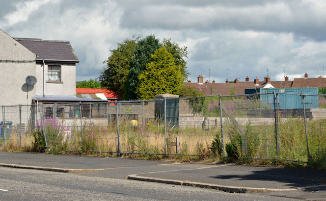
Image: © Albert Bridge Taken: 4 Aug 2013
Part of a site, on the eastern side of the Ballynahinch Road almost opposite here Image, where there had been a small amount of preliminary work Image which was never finished. Not the same as this one Image (April 2010).
Images are licensed for reuse under creativecommons.org/licenses/by-sa/2.0
Image Location
Latitude
54.505455
Longitude
-6.035389