Bury: An overdrown bridleway
Introduction
The photograph on this page of Bury: An overdrown bridleway by Dr Neil Clifton as part of the Geograph project.
The Geograph project started in 2005 with the aim of publishing, organising and preserving representative images for every square kilometre of Great Britain, Ireland and the Isle of Man.

There are currently over 7.5m images from over 14,400 individuals and you can help contribute to the project by visiting https://www.geograph.org.uk
Bury: An overdrown bridleway
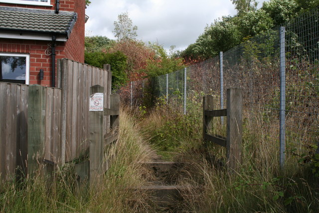
Image: © Dr Neil Clifton Taken: 4 Aug 2013
Looking north at the east end of Lowes Road. I doubt whether this bridleway has seen a horse in years, and probably few pedestrians either.
Images are licensed for reuse under creativecommons.org/licenses/by-sa/2.0
Image Location
Latitude
53.610148
Longitude
-2.287437