OS benchmark - no 194, Wellington Road
Introduction
The photograph on this page of OS benchmark - no 194, Wellington Road by Richard Law as part of the Geograph project.
The Geograph project started in 2005 with the aim of publishing, organising and preserving representative images for every square kilometre of Great Britain, Ireland and the Isle of Man.

There are currently over 7.5m images from over 14,400 individuals and you can help contribute to the project by visiting https://www.geograph.org.uk
OS benchmark - no 194, Wellington Road
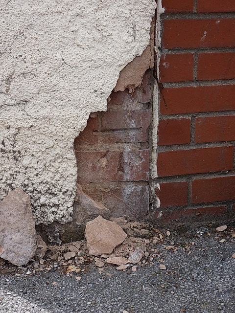
Image: © Richard Law Taken: 2 Aug 2013
A cutmark in the boundary wall (facing the footpath) of no 194 Wellington Road. This one would be lost but for the fact that the rendering is in need of repair; I only had to move one loose piece of render to expose the BM again. How long before it's covered again? Originally levelled at a height of 136.4834m, 447'9" above Ordnance Datum Newlyn.
Images are licensed for reuse under creativecommons.org/licenses/by-sa/2.0
Image Location
Latitude
52.570142
Longitude
-2.089397