All Saints churchyard
Introduction
The photograph on this page of All Saints churchyard by Phil Williams as part of the Geograph project.
The Geograph project started in 2005 with the aim of publishing, organising and preserving representative images for every square kilometre of Great Britain, Ireland and the Isle of Man.

There are currently over 7.5m images from over 14,400 individuals and you can help contribute to the project by visiting https://www.geograph.org.uk
All Saints churchyard
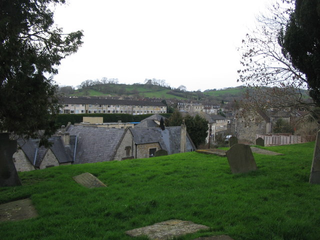
Image: © Phil Williams Taken: 8 Mar 2007
A viewlooking west from the churchyard of All Saints, over the rooftops of Weston village. Penn Hill can be seen on the left, with Dean Hill on the right.
Images are licensed for reuse under creativecommons.org/licenses/by-sa/2.0
Image Location
Latitude
51.395811
Longitude
-2.388465