Looking west along the road to East Hedleyhope
Introduction
The photograph on this page of Looking west along the road to East Hedleyhope by Robert Graham as part of the Geograph project.
The Geograph project started in 2005 with the aim of publishing, organising and preserving representative images for every square kilometre of Great Britain, Ireland and the Isle of Man.

There are currently over 7.5m images from over 14,400 individuals and you can help contribute to the project by visiting https://www.geograph.org.uk
Looking west along the road to East Hedleyhope
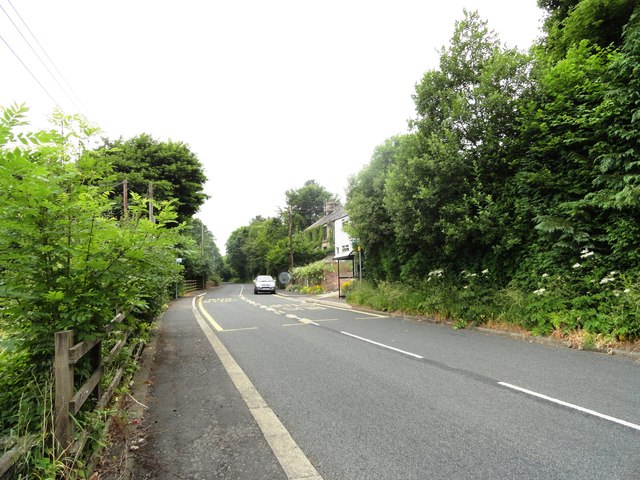
Image: © Robert Graham Taken: 10 Jul 2013
With Rose Terrace on the right. The road continues to the main village about one kilometre west of here. The former colliery was behind the houses.
Images are licensed for reuse under creativecommons.org/licenses/by-sa/2.0
Image Location
Latitude
54.760523
Longitude
-1.746358