Looking Down on Whyteleafe
Introduction
The photograph on this page of Looking Down on Whyteleafe by Des Blenkinsopp as part of the Geograph project.
The Geograph project started in 2005 with the aim of publishing, organising and preserving representative images for every square kilometre of Great Britain, Ireland and the Isle of Man.

There are currently over 7.5m images from over 14,400 individuals and you can help contribute to the project by visiting https://www.geograph.org.uk
Looking Down on Whyteleafe
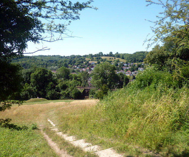
Image: © Des Blenkinsopp Taken: 1 Aug 2013
The valley sides are very steep here and have stayed free of housing. The suburb of Whyteleafe is a strip along the road at the bottom, a route also followed by the railway, just visible here.
Images are licensed for reuse under creativecommons.org/licenses/by-sa/2.0
Image Location


Leaflet Map data © OpenStreetMap
Latitude
51.313347
Longitude
-0.078438