Heather Farm
Introduction
The photograph on this page of Heather Farm by Phil Williams as part of the Geograph project.
The Geograph project started in 2005 with the aim of publishing, organising and preserving representative images for every square kilometre of Great Britain, Ireland and the Isle of Man.

There are currently over 7.5m images from over 14,400 individuals and you can help contribute to the project by visiting https://www.geograph.org.uk
Heather Farm
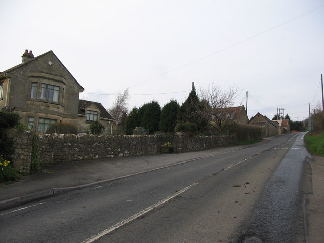
Image: © Phil Williams Taken: 8 Mar 2007
A view looking north up the lane from Weston to Lansdown, showing Heather Farm Cottage at left, with Heather Farm up the hill on the right.
Images are licensed for reuse under creativecommons.org/licenses/by-sa/2.0
Image Location
Latitude
51.406754
Longitude
-2.396465