Riverside track, Brockweir
Introduction
The photograph on this page of Riverside track, Brockweir by Jaggery as part of the Geograph project.
The Geograph project started in 2005 with the aim of publishing, organising and preserving representative images for every square kilometre of Great Britain, Ireland and the Isle of Man.

There are currently over 7.5m images from over 14,400 individuals and you can help contribute to the project by visiting https://www.geograph.org.uk
Riverside track, Brockweir
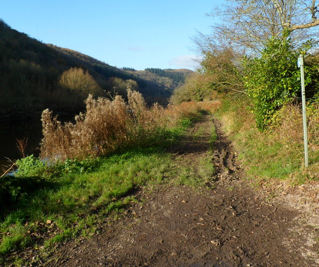
Image: © Jaggery Taken: 27 Nov 2011
Beyond the roadway in Quayside, a track heads NW along the east bank of the River Wye.
Images are licensed for reuse under creativecommons.org/licenses/by-sa/2.0
Image Location
Latitude
51.708522
Longitude
-2.670023