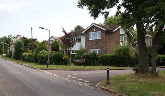
Risinghurst, Oxford
Introduction
The photograph on this page of Risinghurst, Oxford by David Hallam-Jones as part of the Geograph project.
The Geograph project started in 2005 with the aim of publishing, organising and preserving representative images for every square kilometre of Great Britain, Ireland and the Isle of Man.
There are currently over 7.5m images from over 14,400 individuals and you can help contribute to the project by visiting https://www.geograph.org.uk

Image: © David Hallam-Jones Taken: 1 Aug 2013
Lewis Close (a cul-de-sac) is seen here, off Kiln Lane. Two minutes away behind the photographer is the A4142, i.e. the Eastern By-Pass, whereas directly ahead Kiln Lane peters out and becomes a track that passes through Monk's Wood and ultimately leads to Monk's Farm and another dead end known as Bayswater Road. As well as Lewis Close being the location of the home of the former Lewis brothers and their dependent, Mrs Moore, the road-name sign also flags up the fact this cul-de-sac leads to the C.S. Lewis Nature Reserve.

