Mill Lane west of Stoke Priory
Introduction
The photograph on this page of Mill Lane west of Stoke Priory by Stuart Logan as part of the Geograph project.
The Geograph project started in 2005 with the aim of publishing, organising and preserving representative images for every square kilometre of Great Britain, Ireland and the Isle of Man.

There are currently over 7.5m images from over 14,400 individuals and you can help contribute to the project by visiting https://www.geograph.org.uk
Mill Lane west of Stoke Priory
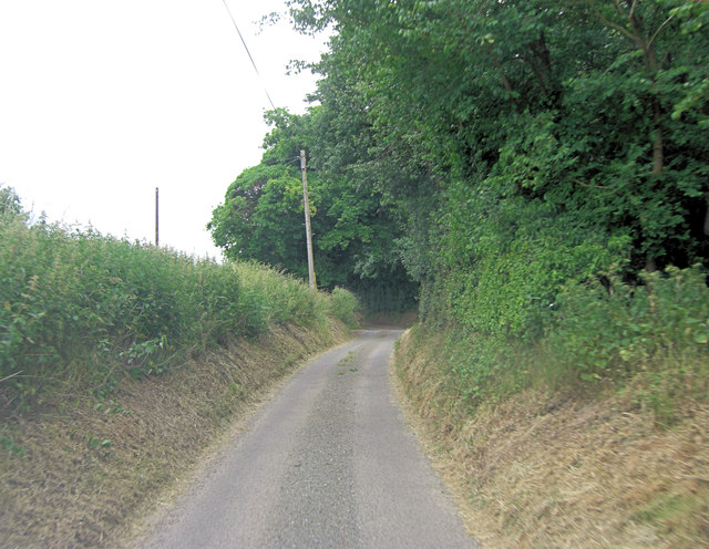
Image: © Stuart Logan Taken: 26 Jun 2013
Maintenance of lanes of this size are inevitably the responsibility of the local authority. There is a commonplace policy to send tractor mounted grass cutting equipment along the lanes. All wild flowers are mashed into a pulp which rots into a nitrogen rich mulch. This in turn encourages coarse weeds such as nettles, brambles and docks, all of which need further visits from the mower. In more enlightened counties the verges are only cut in the autumn and wild flowers predominate. That is better for visual amenity and the environment.
Images are licensed for reuse under creativecommons.org/licenses/by-sa/2.0
Image Location
Latitude
51.999961
Longitude
0.880637