Southern end of Banalog Terrace, Hollybush
Introduction
The photograph on this page of Southern end of Banalog Terrace, Hollybush by Jaggery as part of the Geograph project.
The Geograph project started in 2005 with the aim of publishing, organising and preserving representative images for every square kilometre of Great Britain, Ireland and the Isle of Man.

There are currently over 7.5m images from over 14,400 individuals and you can help contribute to the project by visiting https://www.geograph.org.uk
Southern end of Banalog Terrace, Hollybush
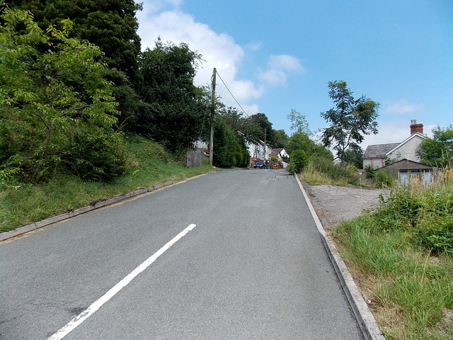
Image: © Jaggery Taken: 1 Aug 2013
Banalog Terrace climbs away from the A4048 Newport Road towards houses and the access road to Banalog Farm.
Images are licensed for reuse under creativecommons.org/licenses/by-sa/2.0
Image Location
Latitude
51.718201
Longitude
-3.212576