102-103 The Splash, Wepham
Introduction
The photograph on this page of 102-103 The Splash, Wepham by Simon Carey as part of the Geograph project.
The Geograph project started in 2005 with the aim of publishing, organising and preserving representative images for every square kilometre of Great Britain, Ireland and the Isle of Man.

There are currently over 7.5m images from over 14,400 individuals and you can help contribute to the project by visiting https://www.geograph.org.uk
102-103 The Splash, Wepham
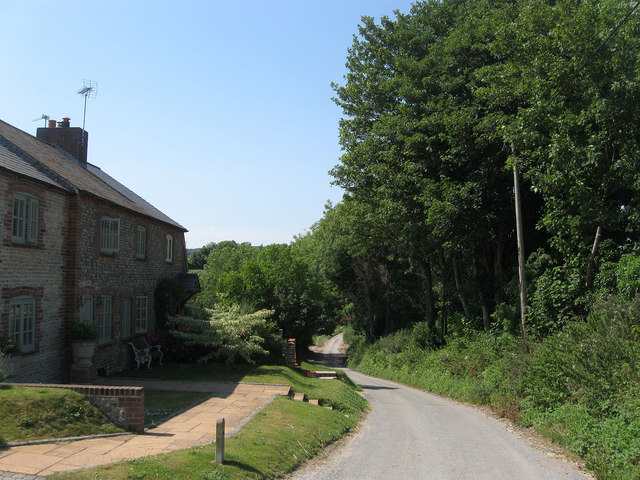
Image: © Simon Carey Taken: 1 Aug 2013
Two flint cottages on the narrow lane that links Wepham to Burpham. The lane is named after the former ford that existed until the 1970s at the bottom of the slope. The dwellings are numbered according to the estate as opposed to the road they are one.
Images are licensed for reuse under creativecommons.org/licenses/by-sa/2.0
Image Location
Latitude
50.866531
Longitude
-0.520366