All Souls Church, Blackman Lane
Introduction
The photograph on this page of All Souls Church, Blackman Lane by Roger Templeman as part of the Geograph project.
The Geograph project started in 2005 with the aim of publishing, organising and preserving representative images for every square kilometre of Great Britain, Ireland and the Isle of Man.

There are currently over 7.5m images from over 14,400 individuals and you can help contribute to the project by visiting https://www.geograph.org.uk
All Souls Church, Blackman Lane
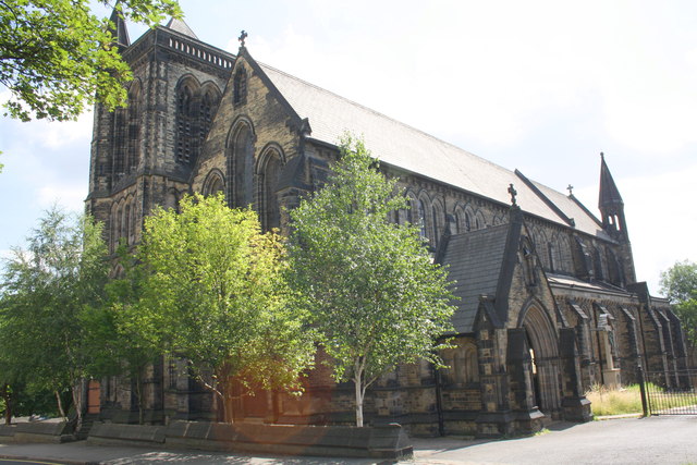
Image: © Roger Templeman Taken: 26 Jul 2013
There is an OS benchmark Image on a buttress on the front of the church which is hidden by trees
Images are licensed for reuse under creativecommons.org/licenses/by-sa/2.0
Image Location
Latitude
53.808007
Longitude
-1.547133