Benridge Bank, West Rainton
Introduction
The photograph on this page of Benridge Bank, West Rainton by Robert Graham as part of the Geograph project.
The Geograph project started in 2005 with the aim of publishing, organising and preserving representative images for every square kilometre of Great Britain, Ireland and the Isle of Man.

There are currently over 7.5m images from over 14,400 individuals and you can help contribute to the project by visiting https://www.geograph.org.uk
Benridge Bank, West Rainton
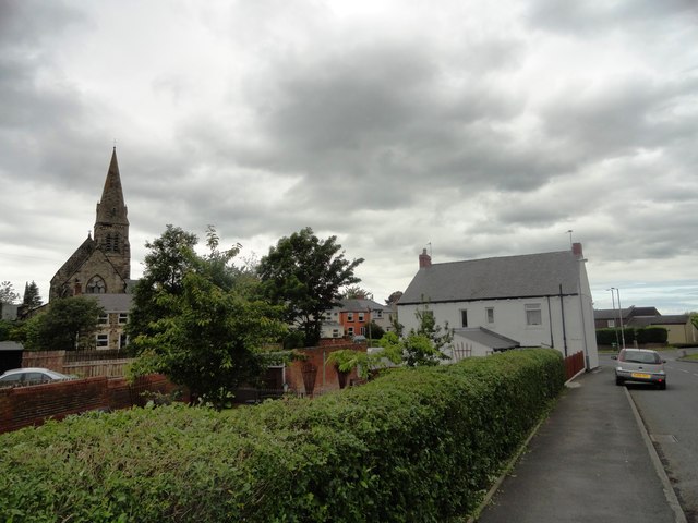
Image: © Robert Graham Taken: 3 Jul 2013
Looking north, with St Mary's church on the left. This part of the village is mainly 19th century or older. West Rainton dates back to mediaeval times, although it would have been just a small agricultural settlement until the coming of the pits in the 19th century.
Images are licensed for reuse under creativecommons.org/licenses/by-sa/2.0
Image Location
Latitude
54.81601
Longitude
-1.498899