View over West Rainton
Introduction
The photograph on this page of View over West Rainton by Robert Graham as part of the Geograph project.
The Geograph project started in 2005 with the aim of publishing, organising and preserving representative images for every square kilometre of Great Britain, Ireland and the Isle of Man.

There are currently over 7.5m images from over 14,400 individuals and you can help contribute to the project by visiting https://www.geograph.org.uk
View over West Rainton
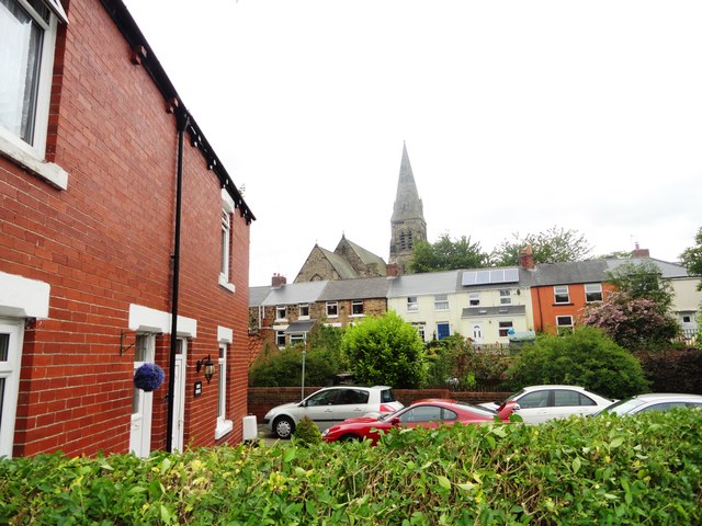
Image: © Robert Graham Taken: 3 Jul 2013
Looking west from Benridge Bank, with the spire of St Mary's church prominent. This end of the village is mostly 19th century. The west end is more recent.
Images are licensed for reuse under creativecommons.org/licenses/by-sa/2.0
Image Location
Latitude
54.81583
Longitude
-1.498901