1960s housing, Stanwell
Introduction
The photograph on this page of 1960s housing, Stanwell by Alan Hunt as part of the Geograph project.
The Geograph project started in 2005 with the aim of publishing, organising and preserving representative images for every square kilometre of Great Britain, Ireland and the Isle of Man.

There are currently over 7.5m images from over 14,400 individuals and you can help contribute to the project by visiting https://www.geograph.org.uk
1960s housing, Stanwell
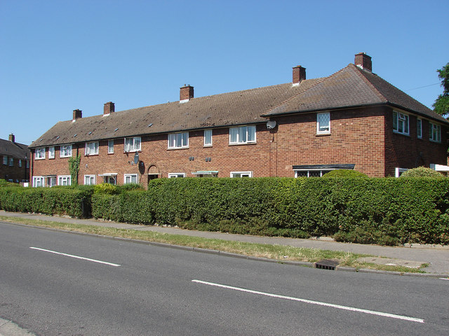
Image: © Alan Hunt Taken: 1 Aug 2013
A block of four houses on Clare Road, Stanwell. This area between the original village and the A30 was developed in the 1960s.
Images are licensed for reuse under creativecommons.org/licenses/by-sa/2.0
Image Location
Latitude
51.450324
Longitude
-0.477539